The Line at the Field Gate: Settlement Boundaries and Rural Consent in 2026
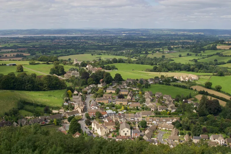
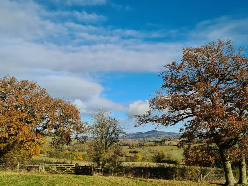
A field edge can appear benign. There is a gate, a hedge, a view across pasture, and a village within walking distance. For a buyer or small developer, the appeal is obvious. The difficulty is that planning policy rarely responds to proximity alone. In rural England, the decisive question is often whether the site falls inside or outside a settlement boundary — the line commonly called the village envelope — as drawn on the local planning authority's proposals map.
That line is not a physical feature. It is a policy device. Yet it can determine whether a proposal is assessed as limited infill within a settlement or as development in the countryside, where national and local policies impose markedly different tests. Understanding how the envelope is drawn, where it is vulnerable to misreading, and how to test a field-edge purchase before exchange of contracts is essential due diligence in 2026.
What a settlement boundary actually does
A settlement boundary defines the area within which policies of restraint are typically relaxed, and outside which they generally apply with greater force. Inside the envelope, a local plan may accept small-scale infill, redevelopment of previously developed land, or modest rounding-off of the built form. Outside it, proposals are usually treated as open countryside. The consequences are not merely rhetorical: the relevant development plan policies change, the weight given to landscape and rural character increases, and the scope for acceptable development narrows.
It is important not to treat the boundary as a permission in itself. Being inside a village envelope does not create a presumption that any plot is developable. Access, drainage, heritage assets, flood risk, biodiversity net gain, and design codes continue to apply. Nor does being outside the boundary render development impossible. Rural exception sites, agricultural dwellings, and certain permitted development routes can still succeed. But the boundary sets the frame within which those arguments are made.
Reading the proposals map properly
The proposals map, sometimes called the policies map, is the spatial expression of the local plan. It is usually available on the council's website as an interactive layer and as a PDF. Buyers should inspect both. Interactive maps can be convenient, but they sometimes lag behind adopted policy or fail to display inset boundaries at a useful scale. The written policies and the adopted map should be read together.
Check the date of adoption. A boundary shown on an emerging local plan is not the same as one shown on the adopted plan. Emerging documents carry weight according to their stage of preparation and the degree of consistency with national policy, but they are not adopted policy. In 2026, several authorities are at different stages of plan-making, and the gap between the adopted and emerging maps can be considerable.
Also check whether the site is affected by other designations that override the envelope question. Green Belt, Areas of Outstanding Natural Beauty, conservation areas, flood zones, and heritage assets can impose additional constraints regardless of the settlement boundary. A site may sit inside a village envelope and still be wholly unsuitable for the scheme envisaged.
The anomalies that catch buyers
Boundaries are drawn at a point in time. They follow historic field patterns, property curtilages, roads, and sometimes arbitrary lines that reflect a previous planning application rather than a coherent settlement edge. Three anomalies recur.
First, the boundary may run through a plot. A house and its garden may be inside, while an adjoining paddock or field is outside. The practical effect is that the development potential of the land differs across a line that is invisible on the ground.
Second, a site may be described in estate agent particulars as being within the village, yet lie outside the envelope. Proximity to services, a village address, and a postal designation do not determine the planning position. Only the adopted policies map and the relevant written policies do.
Third, the boundary may have been drawn around an existing built form that has since changed. A demolished building, a new access, or a boundary hedge removed over time can create a mismatch between the map and the site. Such discrepancies are not automatically resolved in the applicant's favour. They require careful explanation in a planning submission and, sometimes, a site-specific argument about the character of the settlement edge.
Five tests before committing to a field-edge site
Before exchanging contracts, a buyer should establish the following.
-
Confirm the adopted development plan status. Identify the relevant local plan, its adoption date, and the policies that apply to the site. Check whether the council can demonstrate a five-year supply of deliverable housing sites, as this can affect the weight given to certain policies, but do not assume that a shortfall guarantees consent.
-
Obtain the policies map extract at the largest available scale. Compare it with the title plan and the physical boundaries on the ground. Ask the solicitor to confirm that the planning history and any extant consents are consistent with the map.
-
Read the countryside and settlement policies in full. Look for the specific tests for limited infill, rural exception sites, and replacement dwellings. Pay attention to any settlement-specific policies or neighbourhood plan allocations.
-
Check the emerging plan. An examination in progress or a regulation 19 consultation can indicate the direction of travel. A site promoted for allocation may be worth waiting for; a site omitted from the emerging plan may face a harder argument.
-
Commission a planning appraisal from a chartered town planner. A written appraisal that addresses the boundary, the applicable policies, and the prospects of consent is more valuable than an informal view. It also provides a record of the advice relied upon.
When the boundary moves — and when it doesn't
Settlement boundaries are reviewed through the local plan process. They are not amended by individual applications, although a successful application can sometimes establish a principle that influences a future review. A buyer who assumes that a boundary will be moved to accommodate a scheme is taking a significant risk. Plan-making is slow, contested, and subject to examination. The safer assumption is that the adopted boundary will remain until it is formally changed.
In 2026, the practical lesson is straightforward. A field edge is not a neutral location. It is a policy position. Read the line, understand the policies on both sides of it, and test the site against the development plan before committing. The view may be attractive; the planning position is what determines whether it can be built on.